
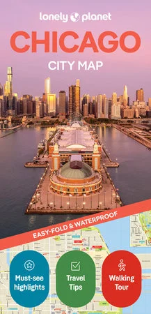
Description
Experience your dream trip with Lonely Planet’s
Chicago City Map
, the ultimate travel tool to help you plan and navigate your way around amazing local sights, landmarks and attractions.
Root for a Cubs win at Wrigley Field, admire masterpieces at the Art Institute of Chicago, mosey out on Navy Pier, and decide where you want to go next and what you want to see in each of the city’s exciting neighborhoods.
Inside Lonely Planet’s
Chicago City Map
:
easy-fold format
24.8″ (630mm) wide x 19.5″ (494mm) high,
folded size:
3.74″ (95mm) wide x 7.76″ (197mm) high
handy slipcase
Cabrini-Green, Central Station, Dearborn Park, Gold Coast, Illinois Center, Museum Campus, Navy Pier, Near North, River North, Gallery District, South Loop, Streeterville, The Loop
Get ready for your next adventure with
Lonely Planet’s
Chicago City Map, the ultimate navigation tool to help you explore Chicago’s well-known attractions and best-kept secrets.




Reviews
There are no reviews yet.